


Professional Surveying Services in Wakefield
Survey X delivers CCTV drainage surveys, utility mapping, GPR, topographical and measured building surveys throughout Wakefield and West Yorkshire. Call 01924 570136 or email Survey X.
Nationwide Coverage • Rapid Reporting • Professional Engineering Reports
Specialist Site Surveys and Engineering Solutions in Wakefield
Based at Unit 2b, Wakefield 41 Business Park, South Park Way, Wakefield WF2 0XJ
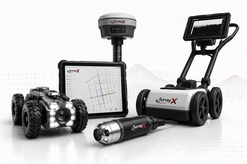
From Wakefield 41 Business Park, Survey X supports developers, engineers and property teams across Wakefield, Normanton, Castleford and Pontefract. Our Yorkshire experience includes the Huddersfield Bus Station CCTV drainage survey and Fairburn Ings culvert inspection. We provide condition information and practical reports to support maintenance, design and project planning. Explore our utility mapping and GPR surveys in Wakefield or CCTV drainage surveys across Yorkshire for local service details.
Nationwide Coverage
Professional Engineering Reports
Rapid Turnaround

Our Professional Survey Services
Comprehensive surveying solutions tailored for Ossett, Horbury, Dewsbury and Leeds, ensuring accurate data for construction, design and asset management purposes.
CCTV drain surveys in Wakefield for commercial sites and homebuyers. Accessible drains inspected for defects and blockages, with footage, condition reports and recommendations.
Detection of buried services and non-metallic features using Ground Penetrating Radar. Aims to help prevent utility strikes during excavation.
Detailed mapping of land features, levels and boundaries. Provides the foundational data needed for architects and civil engineering design.
Accurate internal and external building measurements. Deliverables typically include 2D floor plans, sections and elevations via laser scanning.
Aerial imaging for roof inspections and high-level site mapping. Useful for large-scale land assessments and inaccessible structures.
Sonde tracing locates accessible drainage routes and indicative depths. Manhole surveys record chamber details and connections to support drainage mapping and design.
Survey coverage across Wakefield and West Yorkshire
We provide rapid mobilisation across Wakefield, Ossett, Horbury, Normanton, Castleford, Pontefract, Dewsbury and Leeds. Whether you require Drain Mapping & CAD Surveys in the city centre or large-scale Topographical Surveys in rural West Yorkshire, our local teams deliver consistent, professional results. Call 01924 570136 to discuss your site requirements.
Survey FAQ and Quotation Information
What surveys are available?
CCTV drainage, utility mapping, GPR, topographical, measured building and drone surveys.
What is needed for a quote?
Send the site address, a marked survey boundary, access details and required deliverables.
Typical deliverables?
Deliverables are agreed with your scope and may include CAD drawings, PDF reports or building models.
Do you cover surrounding areas?
How do combined scopes work?
How do combined scopes work?
Yes. We cover West Yorkshire and support projects across the UK.
We agree the survey scope and coordinate the outputs to support your project.
How can I request a quote?
Call 01924 570136 or email info@surveyxuk.co.uk with your site details.
Reliable Results in Wakefield

Precise digitisation of existing drainage networks for planning and design records.

High-pressure water jetting and tanker services to clear debris before surveying.
Nationwide Reach

While based in Wakefield, our teams support projects across the entire UK.
Professional Data
.png)
High-quality CAD and PDF deliverables designed for engineering and planning purposes.
Contact Us
01924 570136
info@surveyxuk.co.uk
Wakefield
West Yorkshire
