


Professional Surveying Services in Leeds
Based in nearby Wakefield, Survey X provides specialist CCTV drainage surveys, utility mapping, GPR, and building surveys across Leeds. Contact 01924 570136 or email info@surveyxuk.co.uk.
Leeds & West Yorkshire Coverage • PAS 128 Standards • Expert Engineering Reports
Surveying Solutions for Leeds City Developments
Comprehensive Site Surveys for Leeds-Based Projects and Infrastructure Work
Leeds Area Coverage
Bespoke Technical reports
Fast Site Visits

Commercial CCTV drainage surveys across Leeds, with footage, defect records and condition reports for accessible pipes. Combine inspections with drain mapping and sonde tracing where routes and connections need recording.
We conduct detailed assessments throughout Hunslet to resolve recurring drainage issues, delivering comprehensive technical data on flow capacity and pipe connectivity for local industrial and retail sites.
Accurate subterranean mapping in Holbeck allows developers to visualize complex foul and surface water layouts, resulting in precise AutoCAD drawings that facilitate site planning and construction accuracy.
Providing vital data for infrastructure upgrades in Headingley, our manhole inspections capture chamber depths, pipe diameters, and construction materials formatted into industry-standard schedules and reports.
Sonde tracing across Leeds and Pudsey records accessible drainage routes and indicative depths. Results support drain mapping and excavation planning, subject to access and signal limitations.
We provide high-pressure water jetting and debris removal for large-scale drainage networks in Morley, ensuring systems are clear of silt and obstructions for optimal flow and survey accessibility.
Using Ground Penetrating Radar and EML to locate buried services in Garforth, we produce detailed PAS 128 compliant utility drawings to mitigate the risk of service strikes on site.
Our Hartmires survey in Leeds recorded site levels, boundaries and drainage features. CAD and PDF drawings give design teams a coordinated base plan for planning and engineering.
Specialist laser scanning for historic and modern structures in Leeds creates highly accurate 2D floor plans and 3D Revit models, essential for internal refurbishments and architectural modifications.
Offering high-resolution aerial photogrammetry for large estates across the Leeds district, our UAV surveys provide rapid aerial inspections and topographical data for difficult-to-access terrain.
What is needed for quotes?
A site plan and scope of work.
Typical deliverables?
PDF reports and DWG files.
Where do you cover in Leeds?
All urban areas.
How are scopes managed?
Coordinated multi-survey visits.
Quick booking for Leeds site works.
Reliable data for Leeds City Centre regeneration and beyond.
Ready to book a survey in Leeds? Call our office team today on 01924 570136.
Professional Project Insight
Specialist Site Equipment

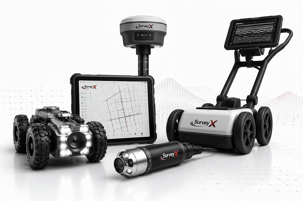
Utilising robotic crawlers and GPR to provide high-fidelity data in West Yorks.
Actionable Engineering
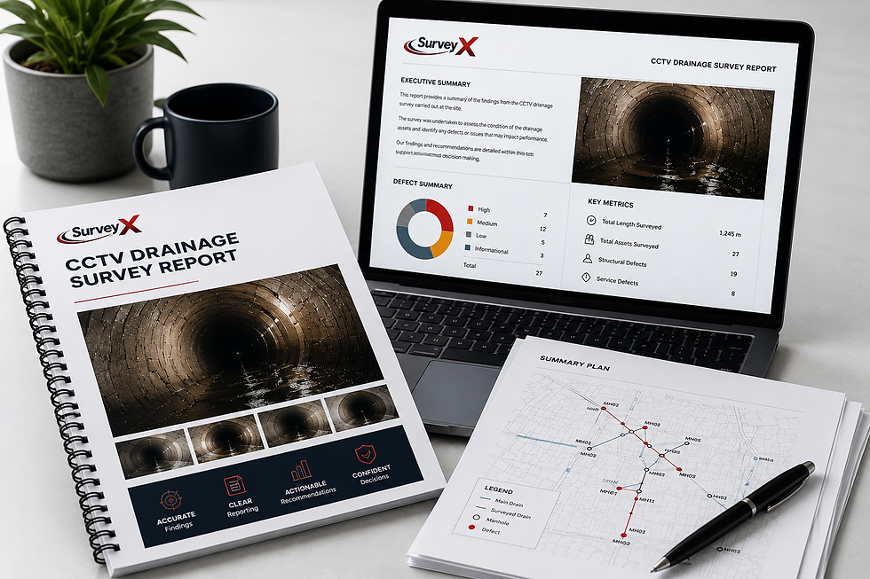
Professional documentation suitable for Leeds engineers and project managers.
Efficiency First

Rapid mobilisation from our Wakefield hub to all Leeds postcodes.
Yorkshire Foundation
.png)
Serving the entire Leeds district with local knowledge and national quality standards.
Get a Quote
Our specialists are ready to discuss your survey requirements in Leeds City Centre, Headingley, or Garforth. Contact our headquarters today for a professional quotation.
