


Professional Surveying Services UK-Wide.
Nationwide CCTV drainage, utility mapping, GPR, topographical, measured building and drone surveys.
Call 01924 570136.
Nationwide Coverage • Rapid Reporting • Professional Engineering Reports
Why Choose Survey X for Surveying Services UK-Wide?
Professional Survey Services for Developers, Engineers & Property Professionals
Survey X provides professional CCTV drainage surveys, utility mapping and Ground Penetrating Radar (GPR) surveys across the UK. We support developers, engineers, contractors, local authorities and property professionals with accurate survey data, consultancy-quality reporting and practical engineering recommendations that help projects move forward with confidence.
Nationwide Coverage
Professional Engineering Reports
Rapid Turnaround

Specialist Surveying Services Across the UK
Expert-led drainage inspections and utility mapping for developments, infrastructure projects, and property management across the UK.
Accurate laser-scanned floor plans, elevations, sections, point clouds and 3D models for design, planning and refurbishment.
Detailed internal inspections using high-resolution camera technology to identify structural defects and blockages.
Accurate detection of underground services and utilities using combined utility mapping and Ground Penetrating Radar surveys.
High-resolution aerial mapping, roof inspections and site imagery for land, buildings and infrastructure projects.
Professional engineering advice on network capacity, build-over agreements, and remedial strategy planning.
ENGINEERING CONSULTANCY
Engineering Intelligence for Better Decisions
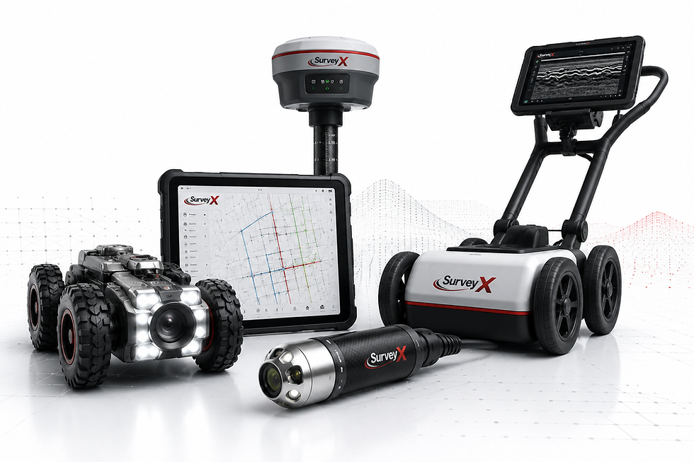
Survey X combines advanced survey technology with practical engineering expertise to deliver reliable information that supports confident decision-making. From CCTV drainage investigations and PAS 128 utility mapping to measured building surveys, GPR and drone surveys, we provide accurate data, clear reporting and practical recommendations for projects across the UK.
Our consultancy approach helps developers, engineers, architects and property professionals reduce risk, improve efficiency and keep projects moving.
Why Leading Organisations Choose Survey X
PAS 128 Utility Surveys
Utility mapping to PAS 128 standards.
Consultancy Reports
Clear engineering recommendations.
Nationwide Coverage
Rapid response across the UK.
CAD & BIM Deliverables
CAD drawings and Revit outputs.
Fast Turnaround
Responsive delivery for live projects.
Commercial Experience
Supporting developers, contractors and local authorities.
Need accurate survey data for your next project? Call Survey X on 01924 570136.
Why Clients Trust Survey X

Supporting projects throughout the UK with responsive survey teams and consistent service.
Consultancy Reporting
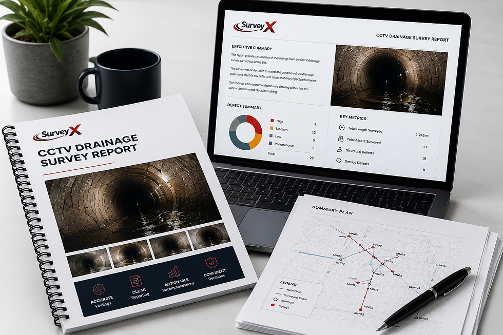
Professional reports designed for developers, engineers and asset managers.
Rapid Turnaround

Fast mobilisation and prompt report delivery to keep projects moving.
Advanced Survey Technology

CCTV, GPR, sonde tracing and utility mapping using industry-leading equipment.
Contact Us
Call Survey X
01924 570136
Speak directly with one of our survey specialists. Whether you need CCTV drainage surveys, utility mapping, GPR, topographical, measured building or drone surveys, we’re here to help.